
- Inicio
- >
- Zújar River Route
Zújar River Route
- The Blázquez family
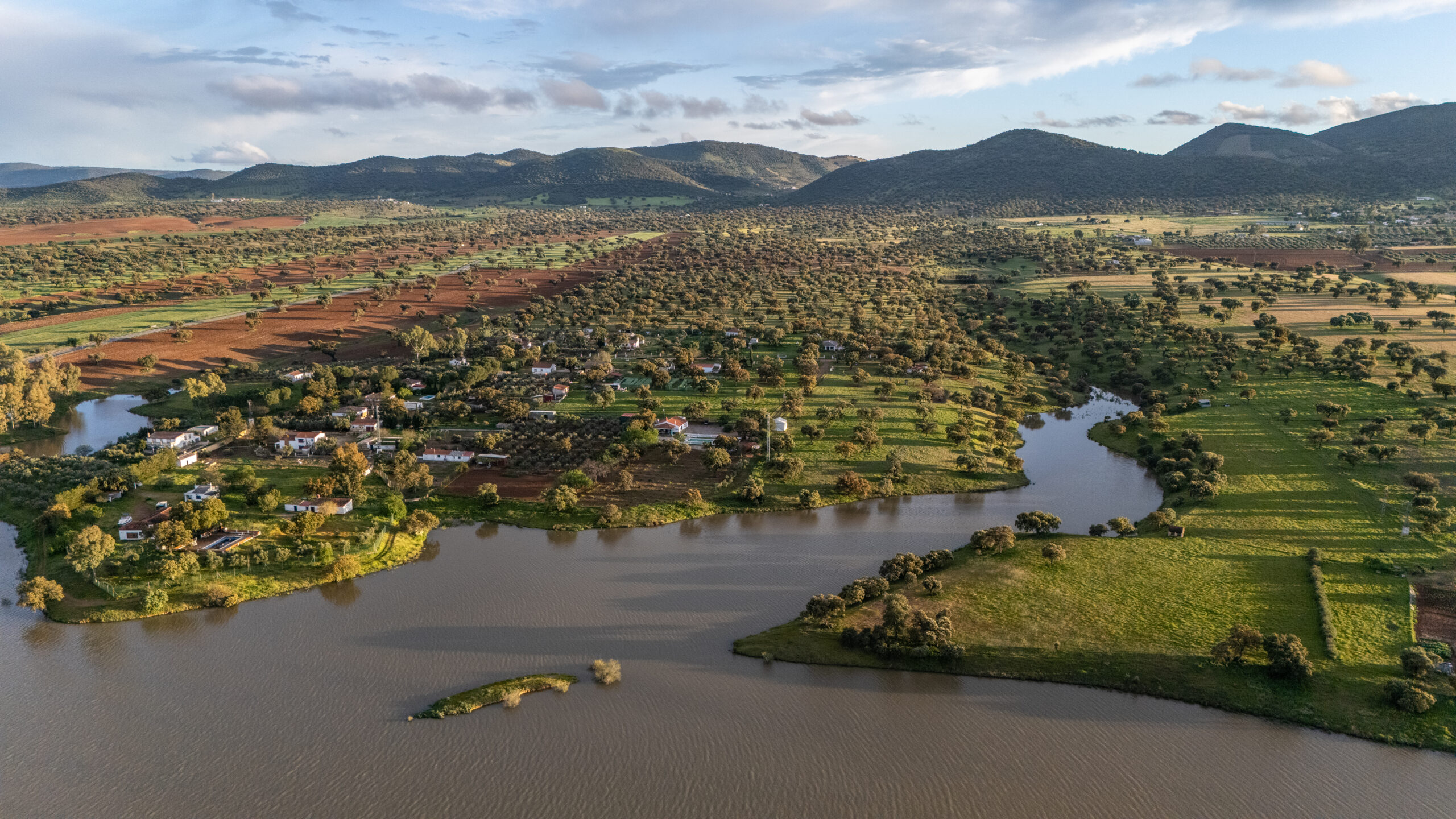
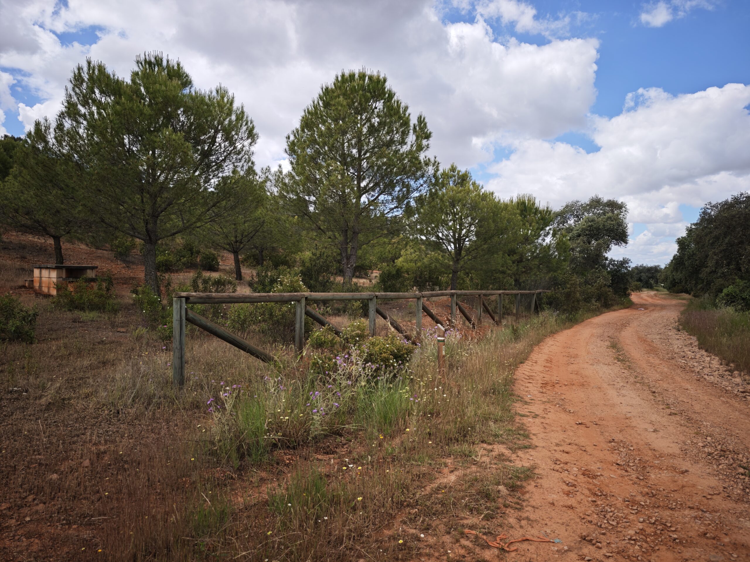
The Zújar River Route is one of the most interesting natural itineraries in Los Blázquez. With a route of approximately 20 kilometers, it allows you to discover rural roads, old fountains, farmhouses, mountain ranges and open landscapes until you reach the Zújar River, which marks the natural boundary between Córdoba and Badajoz. The route can be done on foot, on horseback or by bicycle, and is especially recommended in autumn, winter and spring.
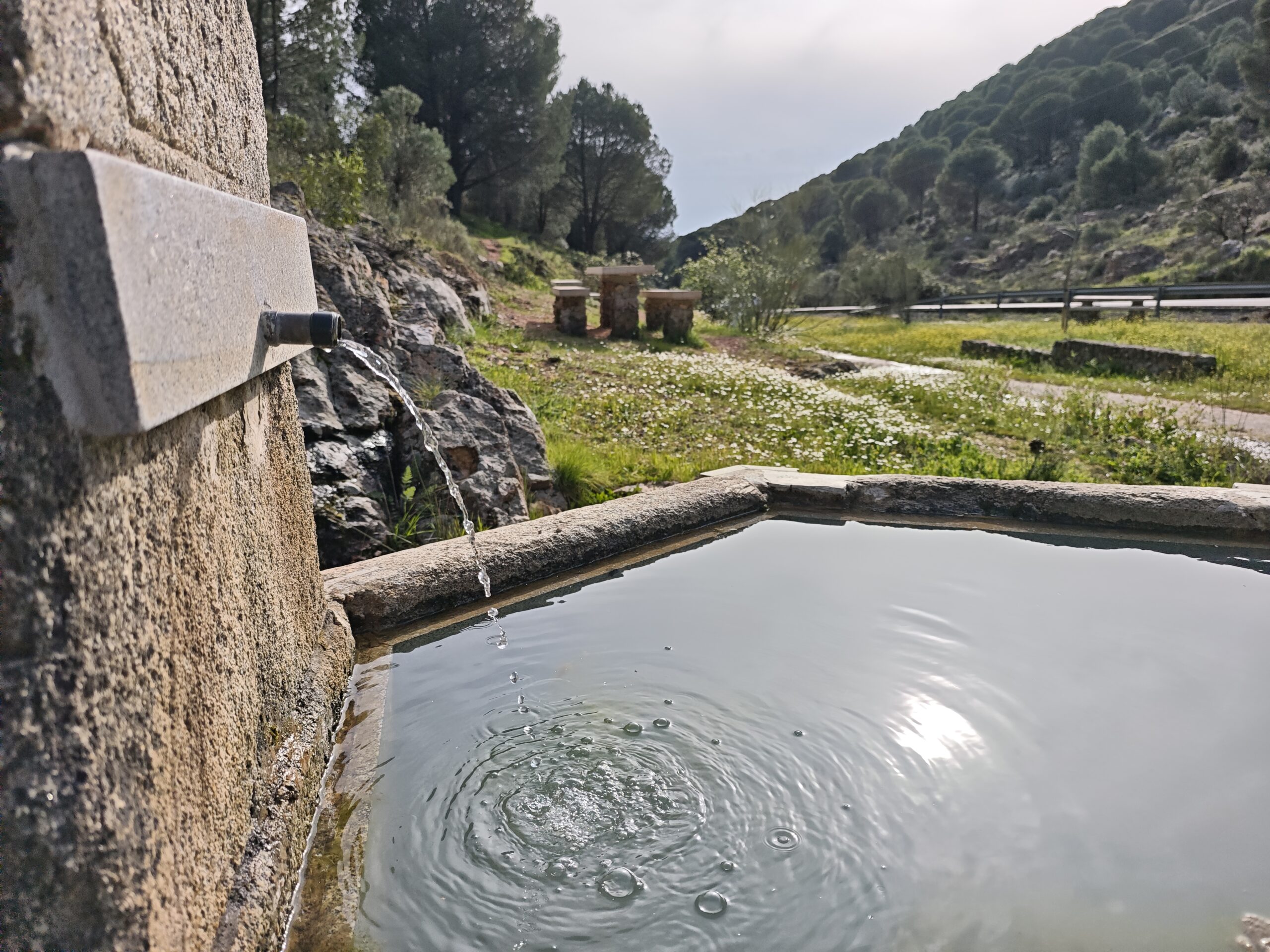
The route starts from the northwest of the town, taking the Fuentecilla road. One of the first highlights is Fuente la Gabia, a place with popular memory, as it was formerly a meeting point for the women of the village to wash clothes. From there, the path continues along the Monterrubio Track, the Siete Cuchillos path, the Laguna del Rayo, the Vereón del Rayo, the Cerro del Mazantoñal and the Cerro del Coscojo path, until it reaches the Fuente Zújar farmhouse.
The most awaited moment comes when we reach the Zújar River, where the landscape invites us to take a break, rest and enjoy the surroundings before starting the return trip. On the way back, you can walk again through some points of the itinerary and pass by places such as the Saladillas farmhouse, the Sierra del Rayo and the Morisca path. In the surroundings of the cortijo de las Moriscas del Jurado, remains linked to funerary constructions and Recent Prehistory have been documented, which adds historical interest to a route marked by the nature and memory of the territory.
It is an ideal proposal for those seeking a quiet, rural and authentic experience in the Guadiato Valley, combining hiking, landscape, ethnographic heritage and places steeped in history.
Gallery of
Zújar River Route