

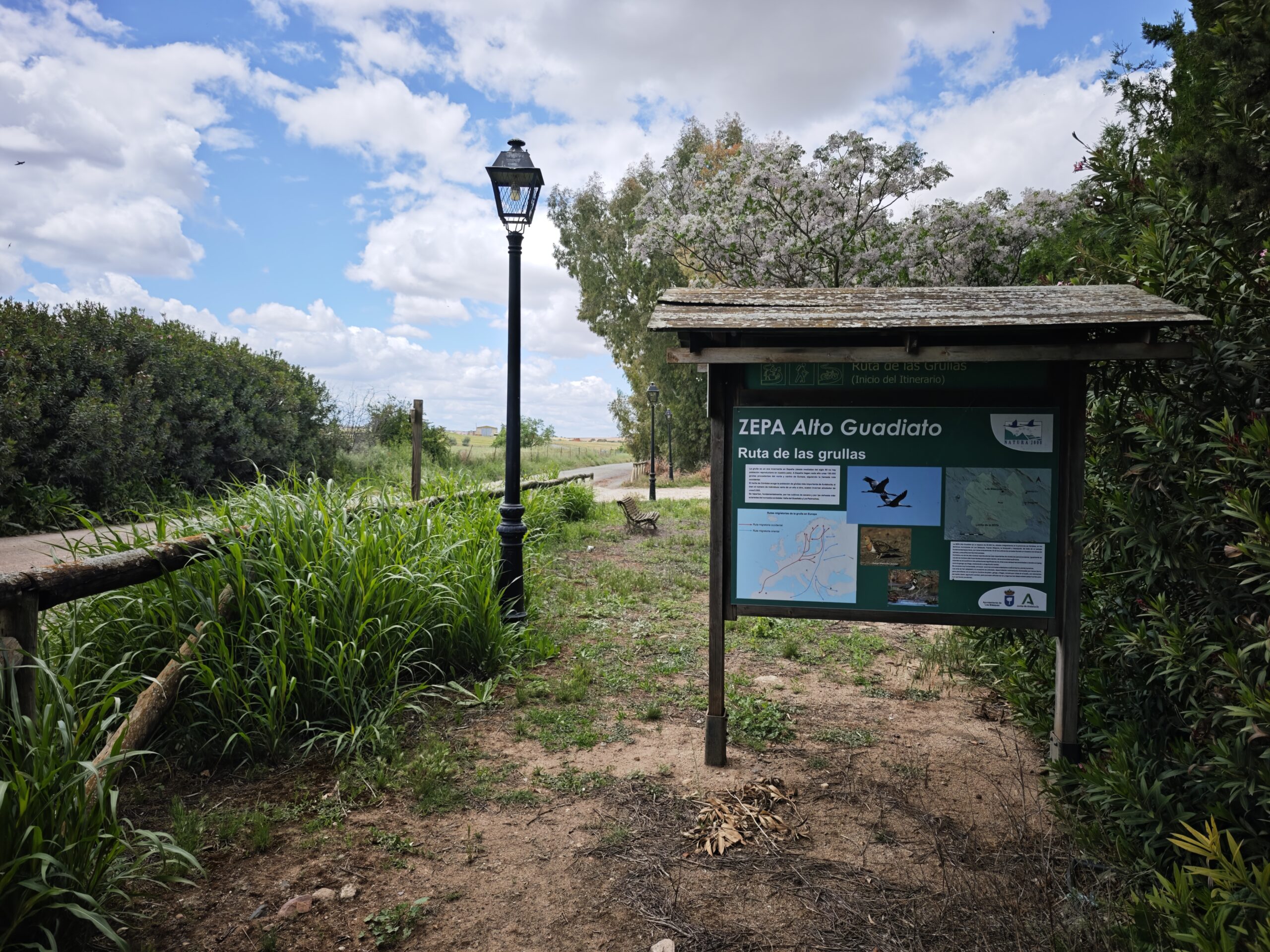
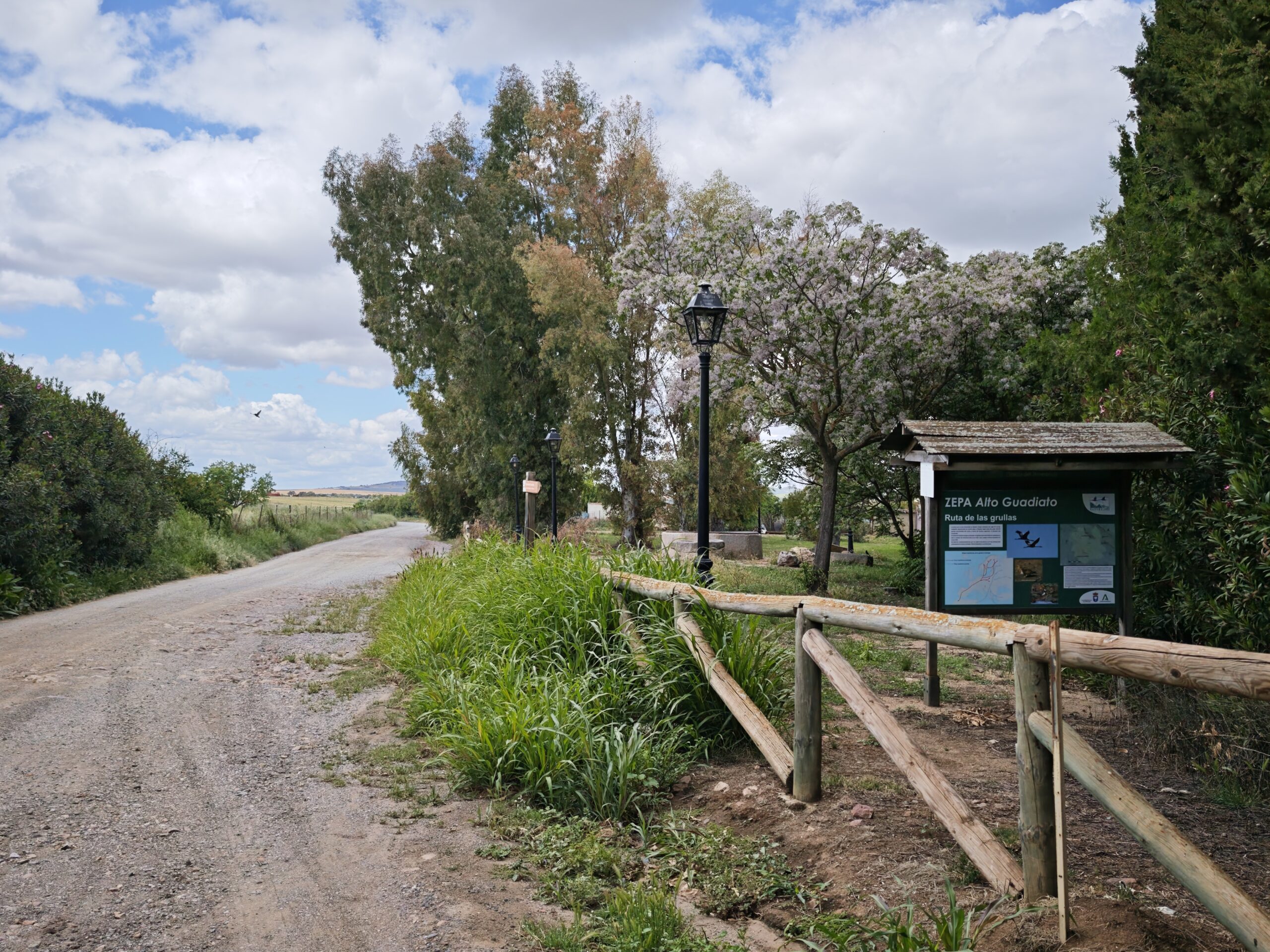
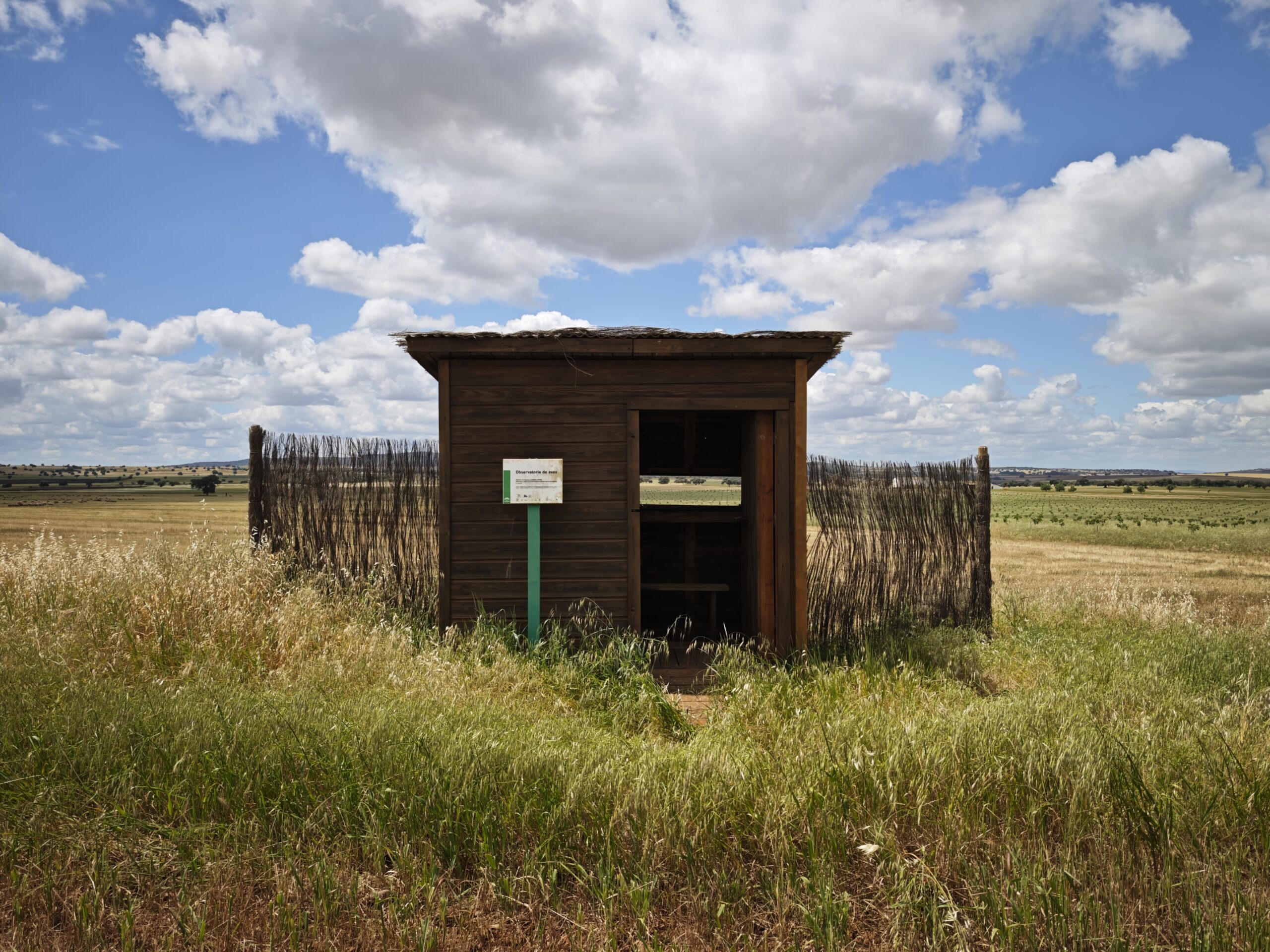
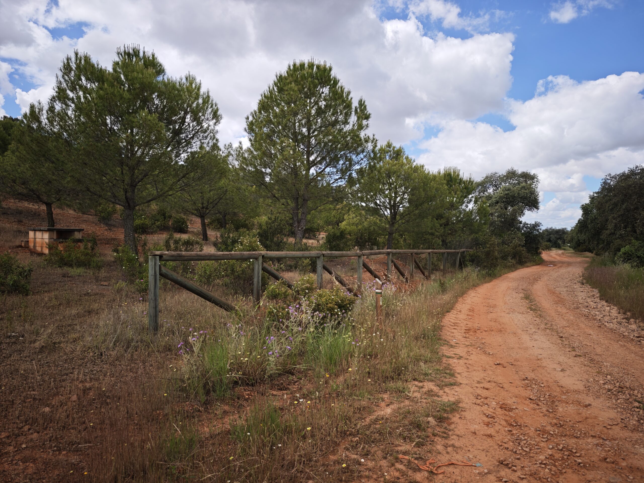
The ornithological itinerary “Tierras de Avutardas” is a route of great natural interest that runs through some of the most representative landscapes of the ZEPA Alto Guadiato. With an approximate length of 30 kilometers and an estimated duration of 8 hours on foot, it is an ideal proposal for fans of hiking, bird watching and large open spaces.
The route runs one kilometer from the village of Porvenir de la Industria, following a track that passes behind the mine until it crosses the local road. From there it continues towards the old farmhouse of La Orihuela and, following the signs installed on the road, it joins the path of the Vía de la Plata, which accompanies the visitor to the end of the itinerary.
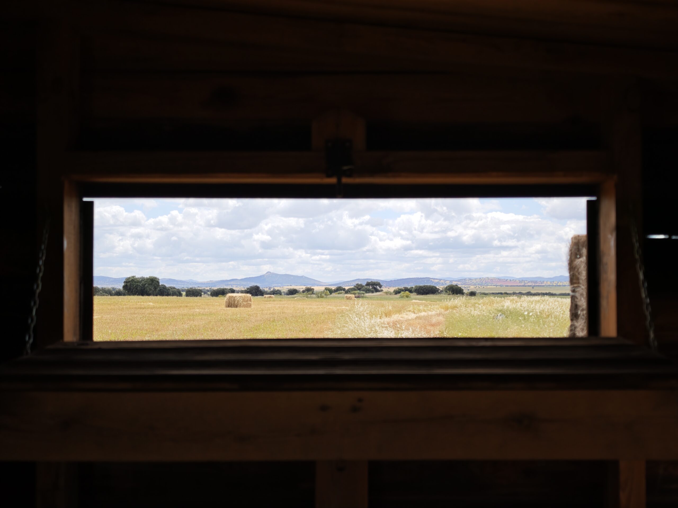
Its name refers to one of the most emblematic species of the territory: the Great Bustard, a steppe bird of great ecological value that finds in these landscapes of crops, pastures and plains a particularly favorable habitat. The route allows visitors to enjoy the ornithological richness of the Alto Guadiato and to understand the importance of conserving these natural spaces.


